Research Subject
Here are the observation and research projects that will be conducted on the Mirai Arctic cruise in 2019.
1. Predictability study on weather and sea-ice forecasts linked with user engagement (subject related to Theme 1)
This research subject includes radiosonde observation, cloud particle sensor sonde observation, continuous observation using on-board devices, acquisition of images from the on-board sea-ice radar, droplet observation, wave height observation, XCTD/CTD observation, drone observation, and sea surface temperature observation.
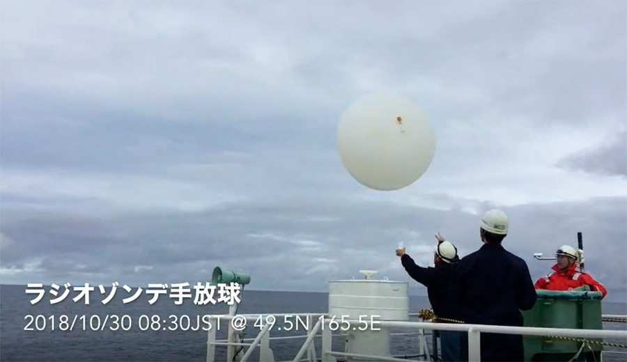
Radiosonde observation: Observations using a radiosonde balloon will be conducted at six-hour intervals on the route between the North Pacific Ocean and the Arctic Ocean. The picture above shows a radiosonde balloon released in last year’s cruise.
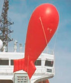
WII (Wave In Ice) buoys. These are deployed into the Chukchi Sea to observe the wave height during the period when ice starts to form. On-board stereo cameras also acquire high-wave calculation data.
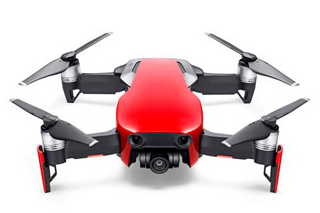
A drone is also used for aerial observation of sea-ice distribution, accumulated snow, and surface temperature around the edge of the sea ice.
2. Observation using an ocean-atmosphere research vessel in the Arctic Ocean, the Bering Sea, and the western North Pacific Ocean (subject related to Theme 3)
Tethered balloon
A suite of monitoring equipment is installed on the Mirai to continuously observe the atmospheric compounds on the route between the North Pacific Ocean and the Arctic Ocean. This research subject also includes aerosol sampling, component analysis of surface seawater, sampling of water vapor, snowflakes, raindrops, etc. on the deck, validation of an atmospheric chemistry transport model using in-situ observations and vertical observation of aerosol and black carbon using an tethered balloon.
3. Assessment of the impact of sea-ice decline on the terestrial water cycle (subject related to Theme 4)
Raindrops and snowflakes on the deck are collected to continuously observe the isotope ratio of water vapor.
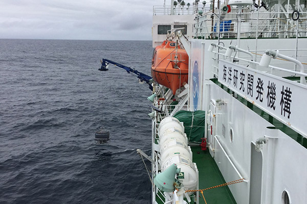
4. Marine physical observation of the winter ice edge area in the western Arctic Ocean (subject related to Theme 4)
A loosely tethered free-fall profiler with turbulence sensors is used to observe of the marine turbulence structure. Surface drifting buoys are also deployed into the ocean on the route.
5. Study on the short-term time-series behavior of the plankton community in the Arctic Ocean on the Pacific side in autumn (subject related to Theme 6)
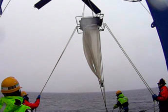
Plankton net observation
This research subject includes collecting plankton using plankton net, experimental growth of cercariae, sludge sampling and collection of bottom-feeders, and phytoplankton observation.
6. Spatiotemporal variation of CO2and CH4in seawater of the western Arctic Ocean (subject related to Theme 4)
Water sampling. Current direction, current velocity, salt content, water temperature, depth, dissolved oxygen, permeation rate, fluorescence, PAR, nitrate, sound speed, and other elements are measured.
This research subject includes water sampling with CTD, LADCP, and buckets; and surface monitoring and continuous surface water sampling.
7. Observation of greenhouse-effect gases in the atmosphere and related components in the Arctic Ocean and the western North Pacific Ocean (subject related to Theme 3)
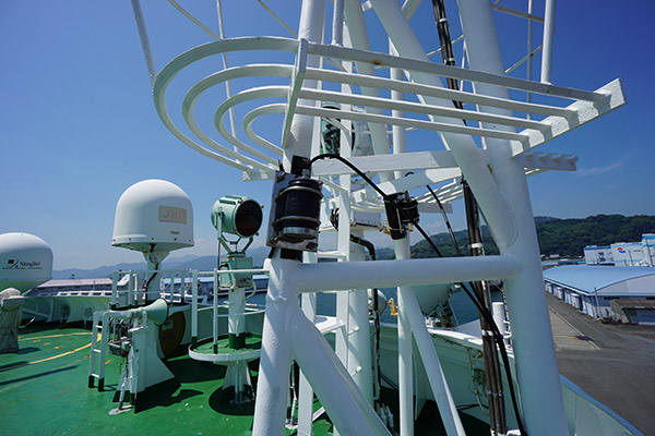
Air inlet for observation of greenhouse-effect gases in the atmosphere
Continuous observation equipment is installed on the Mirai to continuously observe methane (CH4), carbon dioxide (CO2), and carbon monoxide (CO) on the route between the North Pacific Ocean and the Arctic Ocean and identify their concentration distributions in the atmosphere over the ocean. Also, flask sampling of air samples is conducted about once a day to reveal the isotope composition of CO2 and CH4, as well as the spatial distribution of the O2/N2 ratio and the Ar/N2 ratio.
8. Sea bottom topography survey
This research subject includes a sea bottom topography survey using a multi-beam echo sounder, sub-bottom data using a sub-bottom profiler, etc.